On Friday, July 9, the National 4-H GIS Team
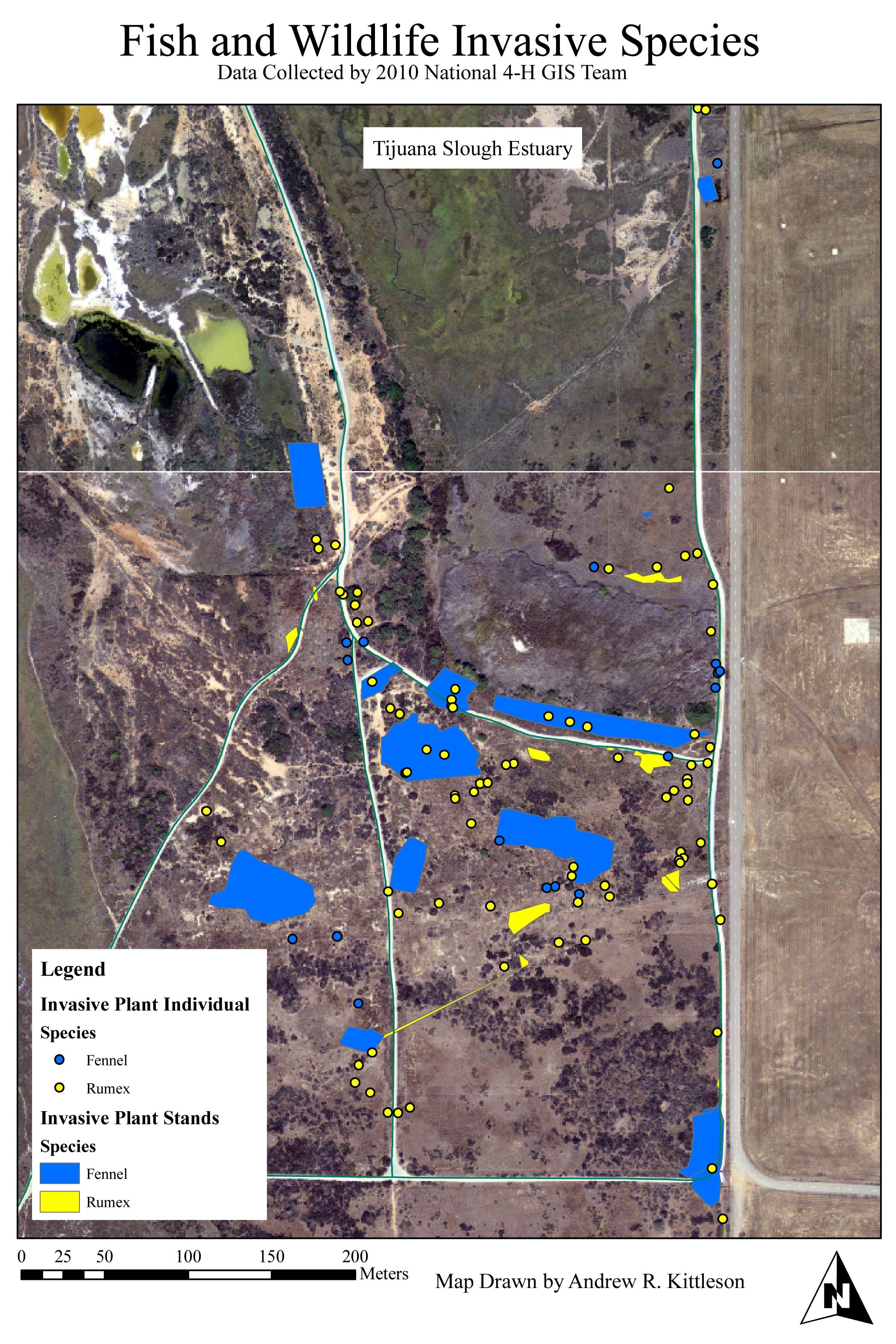
assembled at the Tijuana Slough National Wildlife Refuge for a day of service learning, prior to the ESRI Education User Conference. The refuge consists of about 1,000 acres of costal wetlands with a host of endangered plant and animal species. The 4-Her’s were tasked with locating and mapping two invasive plant species that U.S. Fish and Wildlife work to control in the refuge: Fennel and Rumex.
To accomplish the task, 4-H youth used GPS receivers to mark locations around the refuge where they located Fennel or Rumex. In cases where the invasives had grown over a larger area, the 4-Hers added some dimension comments to the waypoint, taken from the center of the growth. Using DNR Garmin, they loaded the data onto the computer, cleaned it, and brought it into ArcGIS. The resulting map shows identified Fennel and Rumex locations across the refuge.
Learn more about GIS in 4-H efforts and the ESRI 4-H Grants Program.